The Scottish Mountain Heritage Collection
Objects Database
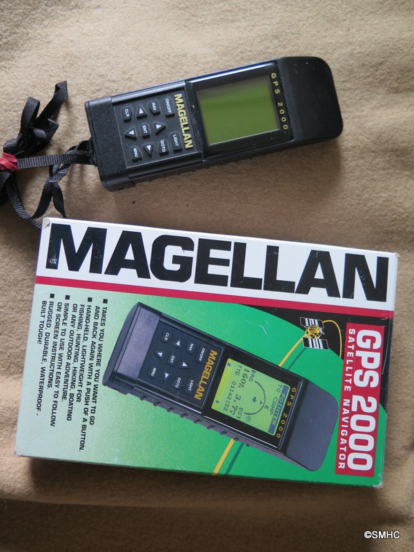
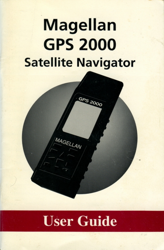
Magellan GPS 2000
Accession Number
1393.2017.1
Object Name
Magellan GPS 2000
Created
11/05/2017
Creator
Hermione Cooper
Accession Date
11/05/2017
Brief Description
Magellan GPS 2000 in original box with user's manual.
Materials
plastic
Dimensions
GPS 17(L) x6(W) x3(D) cms
Number Of Objects
3
Inscription Description
ON GPS "GPS 2000 MAGELLAN MAGELLAN SYSTEMS GPS 2000 PN 62011"
Colour
black
Maker
Magellan
Object Production Place
USA
Provenance
The Americans started working on the Global Positioning System (GPS) in 1973 and made it available worldwide in 1995. It is a global navigation satellite system that provides geolocation and time information to a GPS receiver, on or near the earth where there is an unobstructed line of sight to four, or more, GPS satellites.
Whilst developed primarily for military purposes, the use of the GPS in the great outdoors was immediately apparent with handheld versions appearing hot on the heels of the 'globalistion' in 1995.
Dating from 1996, the Magellan 2000 we have here in the collection was one of the first on the scene and pretty much captured the market in the early days, and while it is now somewhat dated, the basic functions are very similar to more modern versions.
Unfortunately, the GPS did little to enhance the navigational skills of hillwalkers and mountaineers initially, since many saw it as a direct replacement for a map and compass rather than a compliment to them. The incorporation of on screen maps has gone some way to redressing the balance.
This particular GPS was kindly donated by veteran mountain man, Eric Derwin.
PS It's true - the Americans can turn off the system if they want to. They did it selectively during athe Kargil War in India in 1999.
Acquisition Method
Donated by Eric Derwin
Acquisition Date
11/05/2017
Condition Check Date
11/05/2017
Rules
Spectrum : UK Museum documentation standard, V.3.1 2007
Modified
11/05/2017

Click image for enlarged view
Click image for enlarged view
Click image for enlarged view